On the plus side the route I plan is nice and quiet, and mostly on pavement. The downside is that the first half (roughly) is all up hill, followed by a short level bit, and then downhill all the way home. This being Cornwall hills will feature frequently. To the best of my knowledge there are only 2 significant stretches of flat and straight road in Cornwall, and one of those is the Tamar bridge.
On the slightly strange front, I found myself bottle feeding lambs at work today, which I'd never done before. Not complaining, as they are very cute and fluffy, and I'm sure they'll taste lovely with roast peppers and cous-cous, but not exactly a task many other programmers have to put on their timesheets. 12:00-12:10 feeding orphaned ovines?
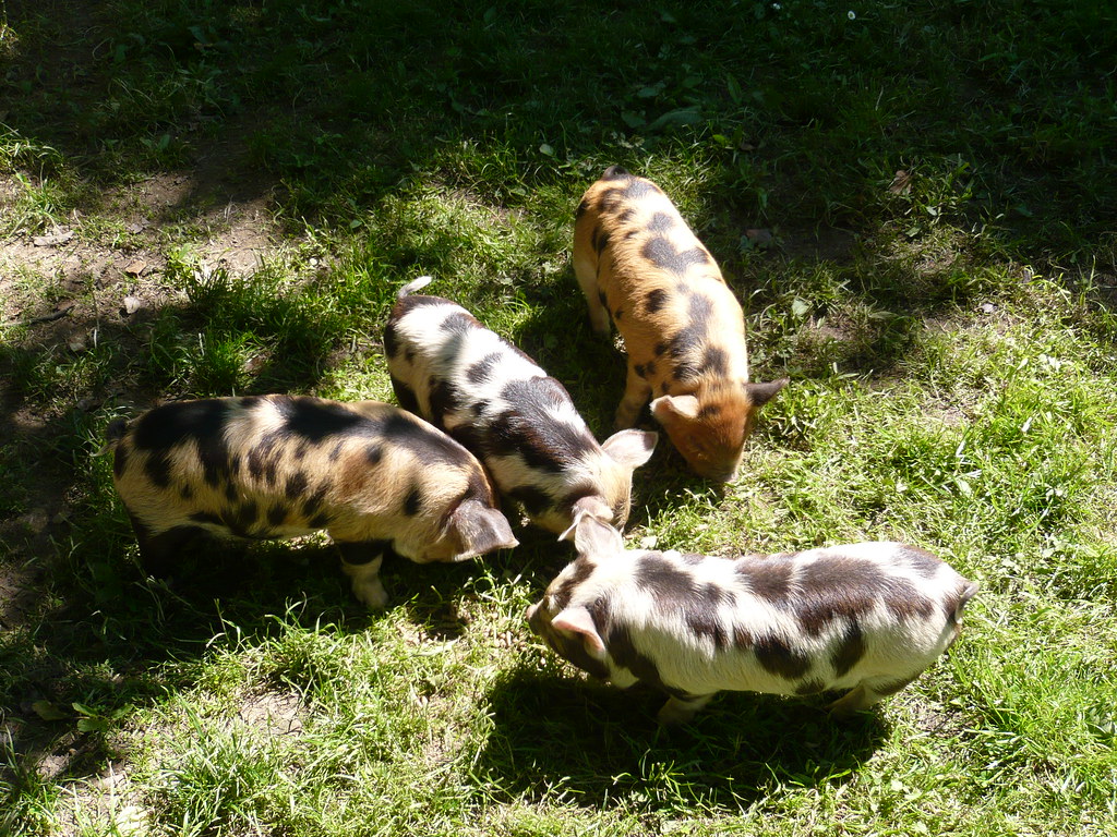
As promised, pictures of piglets, these are Kuni kunis, and they weren't terribly old when I took the photo. I would have more pictures of them, but they quickly cease to be incredibly cute, and become a bit of a fixture when they are getting underfoot, literally, all day. Miniature piggy houdinis, every last one of them.
For all your distance calculating needs, use gmap-pedometer. On the first screen, click more options, select UK, type your town into the search box and Bob's your uncle; select whichever view you like, click start recording and double click the road you want, then plot a route and it does the rest. Hours of fun, endless loops to be made. Enjoy. And welcome to blogging. Just in time for Juneathon (Jogblog will explain!).
ReplyDeleteHmm, not as far as I thought it was , a little under 1.5 miles, only just over 2k.
ReplyDeleteOn the other hand I was spot on about the hills though.
Nice tool, that will come in handy. Thanks.
Another one you could try is runningahead.com. They do mapping and a training log as well. You can also upload data from a Garmin or similar GPS tracker if you wish. There's loads of other bits and pieces such as a message board, shoe mileage calculator etc, but I've never really investigated those bits...
ReplyDeleteThanks for the pigs pic. I'm v. jealous you got to feed lambs.
ReplyDelete